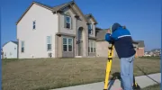
Business Details
Your Trusted Partner for Professional Land Surveying Solutions
At MeasEarth Land Surveying, we have established ourselves as a premier destination for professional land surveying solutions, combining technical expertise with a commitment to precision. Our team utilizes the latest technology and methodologies to deliver exceptional results across a comprehensive range of services, from boundary surveys to construction staking and beyond. With a focus on client satisfaction, we cater to homeowners, developers, architects, and contractors, providing the expertise needed to achieve project goals. Our dedication to accuracy and meticulous attention to detail ensures compliance with legal requirements and industry standards. We empower clients with accurate data and insights, enabling informed decision-making in land development, construction, and property management. Our services include legal boundary delineation, topographic mapping, grading design, and drone-based aerial surveying, all supported by a client-first approach that prioritizes transparency and ethical standards.With extensive experience in engineering and construction, we bring a unique combination of technical knowledge and practical execution to every project. Our mission is to provide value through precision, innovation, and a commitment to empowering our human resources to build lasting relationships. We embrace technological advancements while maintaining a strong foundation in traditional surveying principles, ensuring reliability and excellence in every deliverable. Our core values of integrity, professionalism, and collaboration guide every interaction, fostering trust and long-term partnerships with our clients.
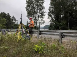
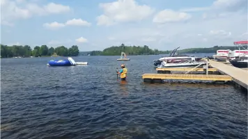

Services
Legal Boundary Surveys
Topographic Surveys
Construction Staking
Drone Surveying
Grading Design
Highlights and features
- We utilize the latest drone and LiDAR technology for superior surveying accuracy.
- Our team combines decades of engineering experience with innovative methodologies.
- We provide tailored solutions for legal, construction, and land development projects.
- Our client-first approach ensures transparent communication and project-specific guidance.
- We maintain strict compliance with regulatory standards and zoning requirements.
Services
Legal Boundary Surveys
Our legal boundary surveys provide precise property line delineation using advanced technology to ensure compliance with Ontario's regulatory standards. This service supports homeowners, developers, and legal professionals in resolving disputes, facilitating transactions, and planning developments. By combining traditional surveying techniques with modern tools like GPS and LiDAR, we deliver accurate, legally defensible results.
Drone Surveying
Drone-based aerial surveying captures high-resolution imagery and 3D data for efficient land analysis. This service benefits construction, environmental assessments, and large-scale developments by reducing time and costs while maintaining precision. Our drones comply with aviation regulations and integrate seamlessly with GIS systems for detailed site modeling and progress tracking.
Topographic Surveys
Topographic surveys document natural and man-made land features, including elevation changes, vegetation, and infrastructure. These surveys are critical for engineering design, urban planning, and environmental management. We use photogrammetry and ground-based LiDAR to create detailed digital terrain models that support informed decision-making for developers and municipal authorities.
Construction Staking
Construction staking services ensure accurate placement of buildings, roads, and utilities according to design plans. Our team uses robotic total stations and GPS systems to mark excavation boundaries, foundation layouts, and utility alignments. This service minimizes costly errors during construction and guarantees adherence to project specifications and municipal bylaws.
Grading Design
Grading design services optimize land contours for proper drainage and site functionality. We develop plans that comply with local bylaws while addressing erosion control and stormwater management. Our solutions integrate with municipal infrastructure requirements, ensuring sustainable development for residential, commercial, and industrial projects.
Questions
What types of land surveying services do you offer?
We provide legal boundary surveys, topographic mapping, construction staking, drone-based aerial surveys, and grading design services tailored to Ontario's regulatory and environmental requirements.
How does drone technology improve surveying accuracy?
Drones capture high-resolution aerial data quickly, reducing field time by 40-60% while maintaining sub-centimeter accuracy through advanced photogrammetry and LiDAR integration.
Are your surveyors licensed in Ontario?
Yes, our team consists of licensed Ontario land surveyors with expertise in provincial zoning regulations, land title systems, and municipal compliance standards.
Can you handle both small and large-scale projects?
We serve homeowners with property line disputes and developers managing multi-acre subdivisions, adapting our methodology to project complexity and budget requirements.
What deliverables can I expect from a survey?
Clients receive digital and printed survey plans, GIS-compatible files, 3D models, and legal documentation such as Surveyor's Real Property Reports and reference plans.